Evolution Valley and More!
Text by Matt (and Jenya) - Pictures by Jenya, Nat and Matt
Nat, Jenya, and I made plans to do a long 6-day high-Sierra backpacking trip -
a fifty-mile loop containing three passes over 11000'.
More specifically: We would be starting at North Lake, going over Piute Pass, following
the San Joaquin up into Evolution Valley, going over Muir Pass, then over Bishop
Pass, down to South Lake, and hitchhiking back to our car at North Lake.
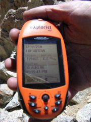
GPS data included below is accurate to within 100'.
Day 1 - Thursday August 24th - Travel to Tuolumne
We hit the road for Yosemite around 2pm. Usual traffic snarls.
Stopped for dinner at the Evergreen Lodge near Hetch Hetchy.
Since we were able to reserve a campsite at Tuolumne Meadows at the last minute,
this is where we stayed for the evening.
Loud crowds and smoky campfires galore. Luckily I brought earplugs.
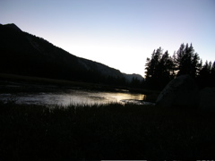
Campsite GPS Info: 37° 52' 25N / 119° 21' 11W / 8627' elevation
Day 2 - Friday August 25th - Delay in Bishop / Day hike up to Lamarck Lakes
Got up at daybreak and once over Tioga Pass we headed for breakfast at Nicely's in Lee Vining.
We arrived at Bishop around 10am. Miscommunication: we were told on the phone that permits
were available starting at 11am, but that was for the *following* day. Turns out all the
wilderness permits for the North Lake trailhead today were already doled out.
Apparently 30 people a day are allowed to enter this route. Running out of permits
means we'll be seeing a lot of people on the trails. The population in the wilderness
wasn't too bad except when it came to contention for campsites, which I found to be almost
dangerous - too many people arriving fatigued to potential sites late in the day,
only to find nothing available.
Anyway, the permit fiasco
delayed our plans for a day, but we made the best of it. After getting dinner fixins
at the local Vons we drove up to North Lake.
We gave a hitchhiker a lift, as he was heading up into the mountains himself. We
nabbed the last available campsite. To help acclimate ourselves
we hiked up to the Lamarck Lakes at about 11000'.

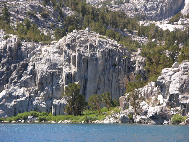
Lower Lamarck Lake.

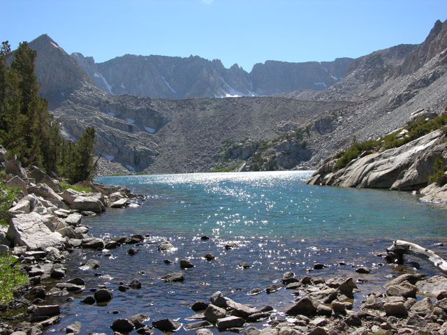
Upper Lamarck Lake.
Lunch above the lake before heading back.
I should have brought my hiking poles as the 1700' descent back down to camp
reinjured my left knee (which I badly sprained last year). Not a good way to start this
journey.
Campsite GPS Info: 37° 13' 40N / 118° 37' 35W / 9325' elevation
Day 3 - Saturday August 26th - Taking Piute Pass
Much to our dismay there were no bear lockers at the North Lake trailhead.
In order to avoid leaving our excess food/supplies in our car, we left it
in a bear locker at the North Lake campground along with an apologetic note.
Cloudless skies all day.
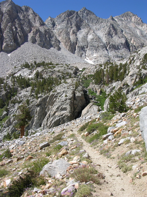
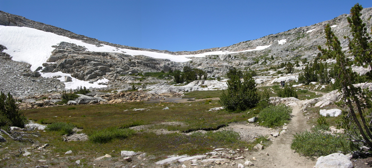
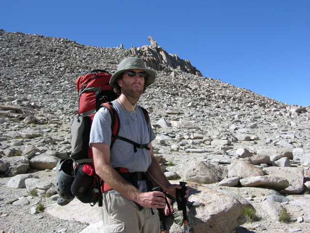
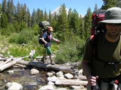
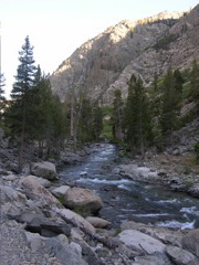
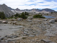
We hit the trail around 10am and took our time working our way up to Piute Pass.

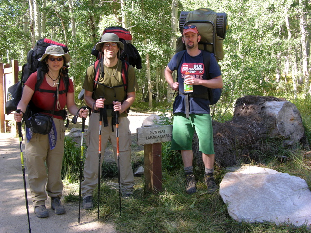
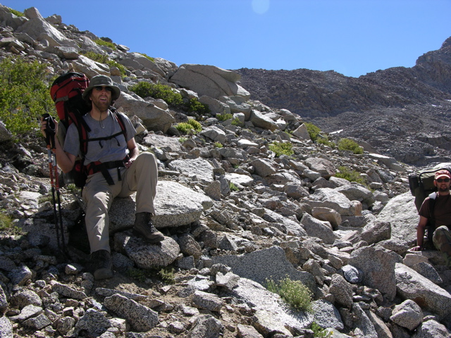
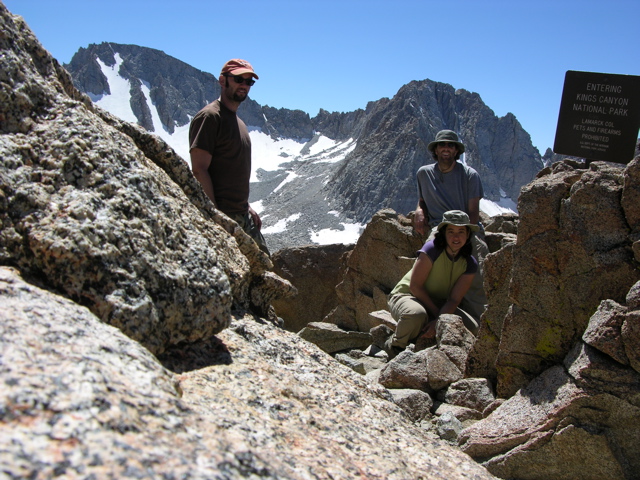
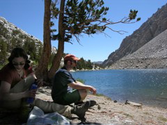
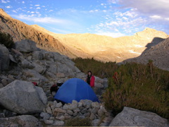
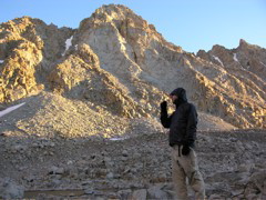
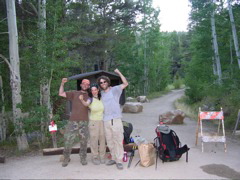
Here we are at the trailhead, primed and ready to go (9350').
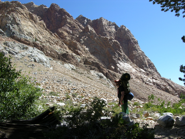
Nat below the Piute Crags.
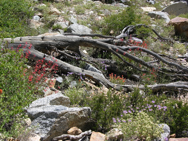
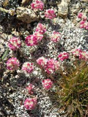
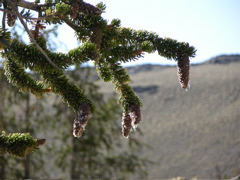
Sierra flora.

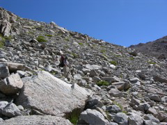
Pushing up the trail.
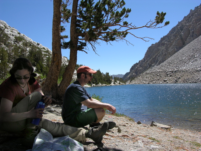
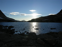
Stopped at Loch Lewen for lunch (10740').
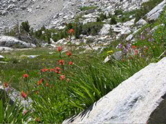
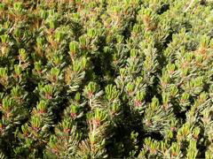
More flora.
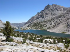
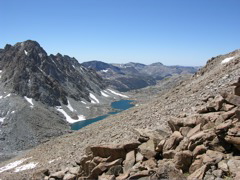
Already past Piute Lake (10958').

The summit is now in our sights.

Once again looking back, a bit further up now.
Almost there (huff puff).
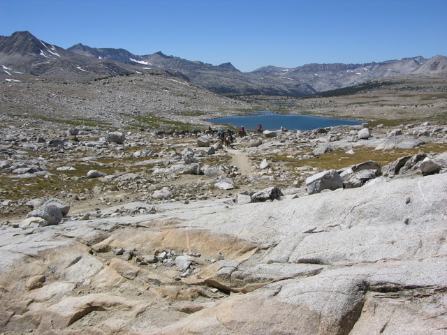
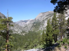
Looking over the other side into Humpreys Basin. Wowie. There's a mule pack on
their way back out. Did I mention that these trails are constructed
entirely of rock, sand, and mule poop?
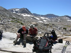
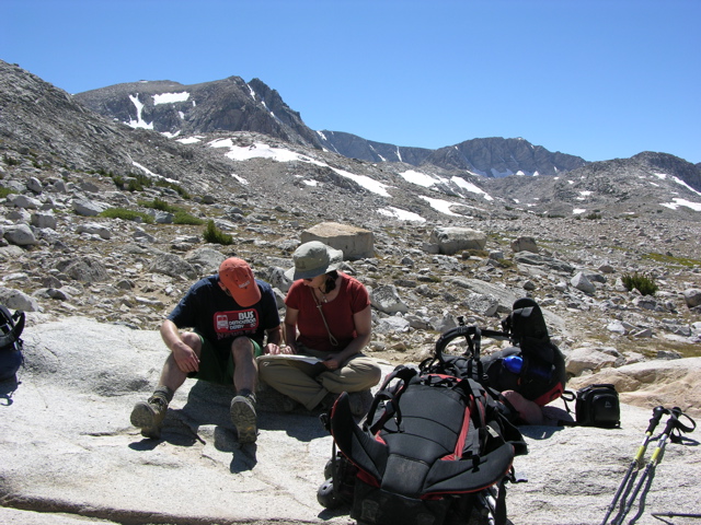
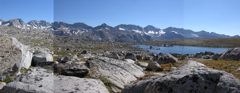
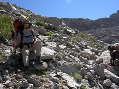
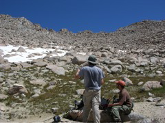
Jenya and Nat scanning the map.
Pass GPS Info: 37° 14' 19N / 118° 41' 03W / 11418' elevation.
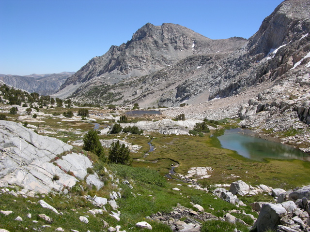
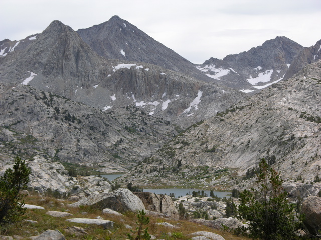
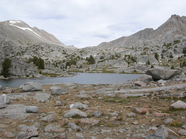
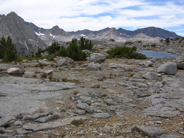
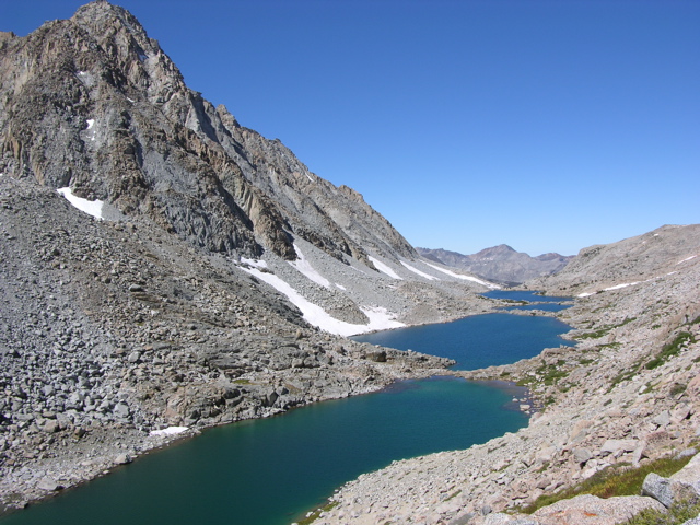
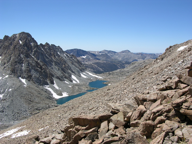
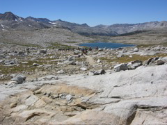
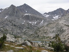
Dropping into Humpreys Basin.
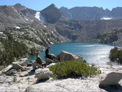
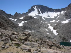
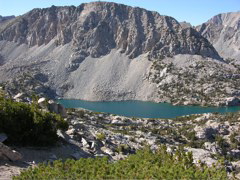
We took a side trip to Desolation Lake, a
less traveled, interesting landscape quite different from
the rest of the basin, with a great view of Mt. Humpreys.
Unfortunately, this added up to six
rugged miles to our trip, and I stumbled and badly turned my ankle on the way back to
the main trail. It was quite bruised and swollen for the next couple of days.
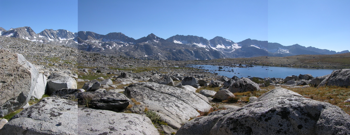
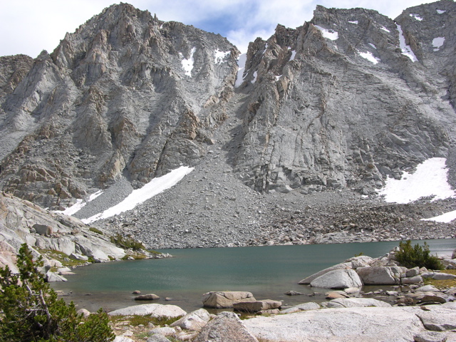
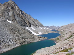
Panorama of Lower Desolation Lake.
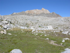
Mount Humpreys (13986' peak).
Panorama of Upper Desolation Lake (11375').
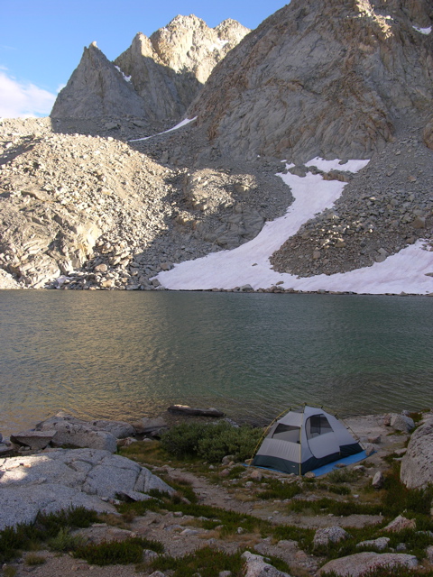
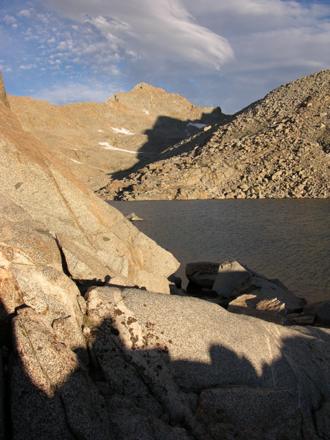
Back on track, we pushed further into the basin looking for any suitable campsite.
Eventually resorted to going off trail to find a spot near Piute Creek. We stayed
the night near the water, meaning the mosquitoes were an annoyance. Clear skies
continued through the night, which made for good star watching. Dinner: Thai
chicken noodle. (Backcountry food tip: powdered coconut milk makes everything
magically delicious. Find it in your local Indian and Thai markets.)
Campsite GPS Info: 37° 14' 50N / 118° 43' 53W / 10529' elevation
Day 4 - Sunday August 27th - Humphrey's Meadow to Aspen Meadow

Jenya and Nat making tea/pancakes.
(Backcountry food tip: Make sure to travel with somebody willing to carry a full
bottle of maple syrup.)
Note Nat's RidgeRest doubling as windscreen.
A slow morning recovering from yesterday's 13+ miles of travel.
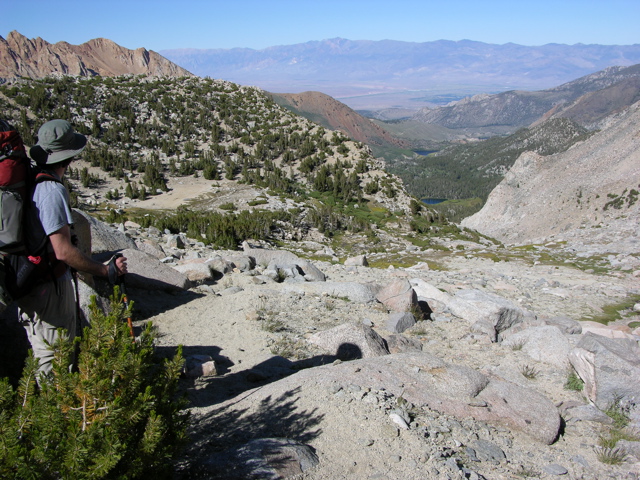
Another beautiful day as we pushed further west and then south following the
San Joaquin river. Most of the time was spent going downhill, which made for
significant mileage (another 9+ miles) but all of us were suffering from
one foot ailment or another by day's end.

Piute Creek.

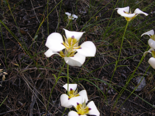
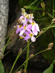
Mariposa Lilies.
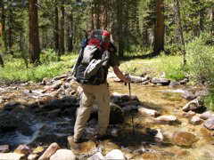
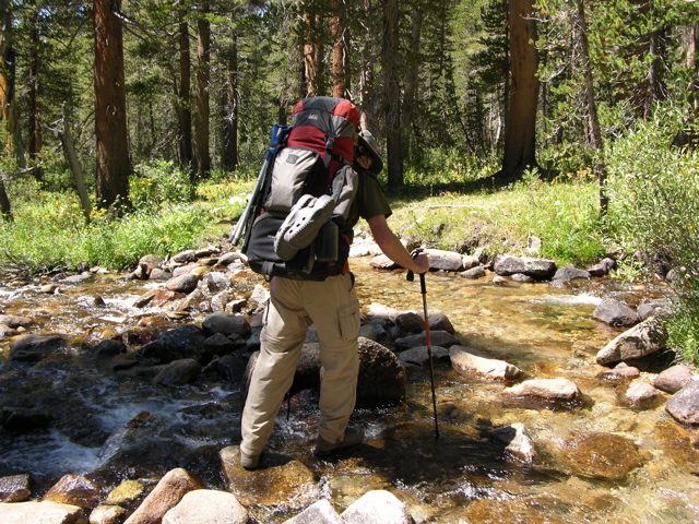
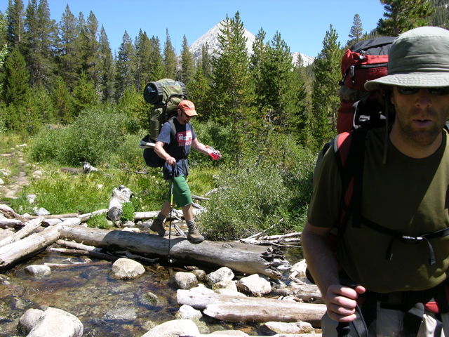
One of many minor stream crossings.
Another crossing.

The creek is growing as more drainages contribute water.
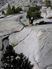
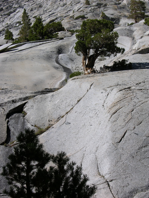
Interesting tree/granite landscape.
Looking ahead - we'll be turning left around one of those hills eventually.

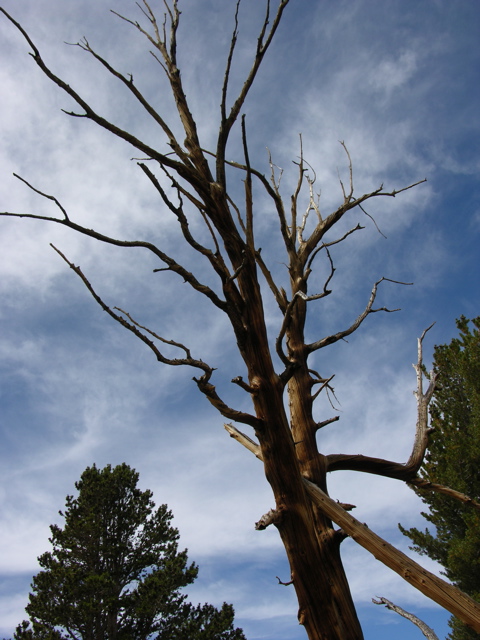
Interesting tree formation.
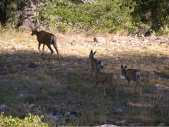
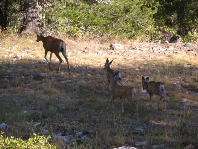
How about some fauna?
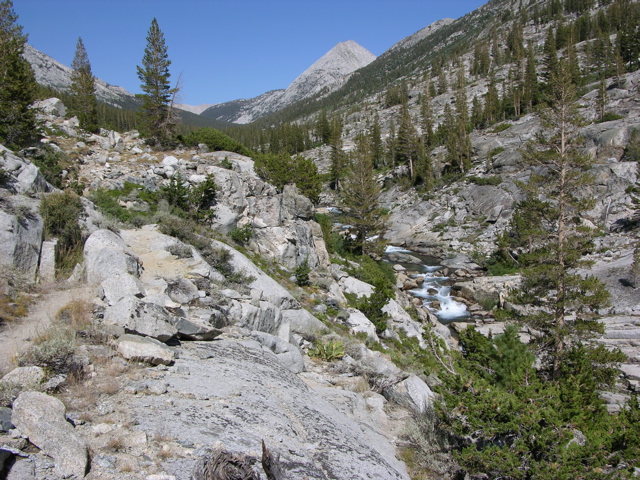
Finally off the Piute Creek, now going up the San Joaquin River gorge.
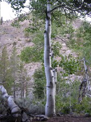
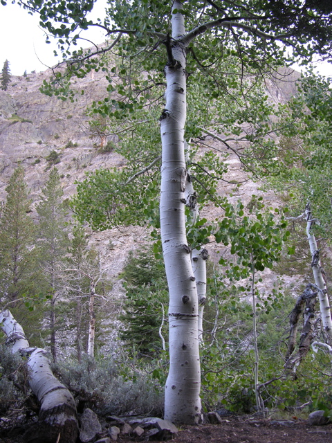
Aspen!
Got the last site available near Aspen Meadow. Dinner: Mexican beans/veggies/rice.
(Backcountry food tip: Baco bits.)
Over dinner there were rumblings about cutting our trip a day short by taking
Lamarck Col instead of our original route.
Cons: We'd miss the whole southern leg of our journey.
Pros: Injuries, while minor, were a concern, plus we already started a day late,
so this would put us back "on schedule." And we'd would be replacing two
11900' passes with a single 12900' pass, which would be a backpacking altitude
record for all of us. Plus we were attracted to the adventure
of route finding in more remote territory.
Mosquitoes weren't as bad as last night.
Campsite GPS Info: 37° 12' 48N / 118° 48' 59W / 8222' elevation
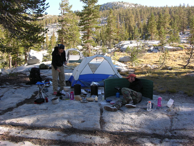
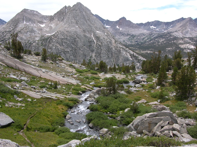
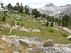
Day 5 - Monday August 28th - Going to McClure Meadow
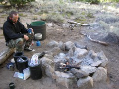
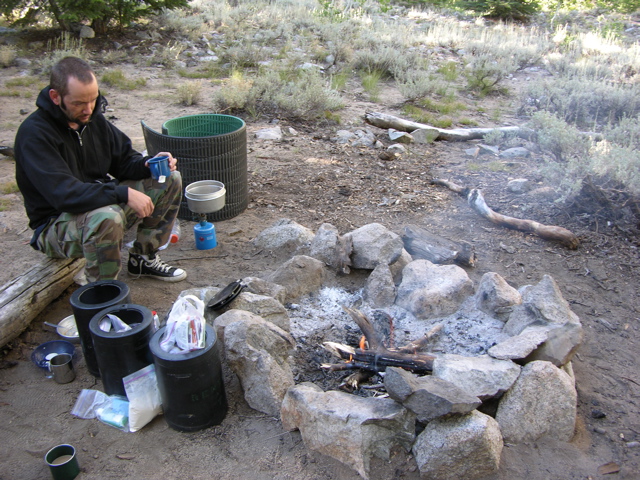
Nat with tea and fire.
Today was a much easier day for us, only going about 6 miles up into
Evolution Valley. Near Evolution Meadow was a stream crossing that required
boot removal. Luckily, I just purchased a pair of Crocs to use around camp.
I must say Crocs are the best camping shoewear to come around in a long time -
cheap, comfortable, waterproof, and super light.
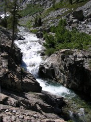
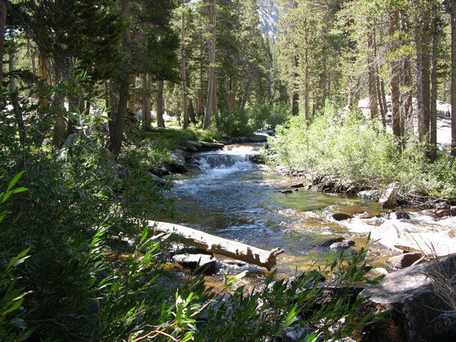
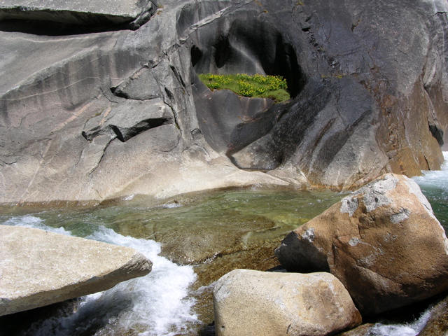
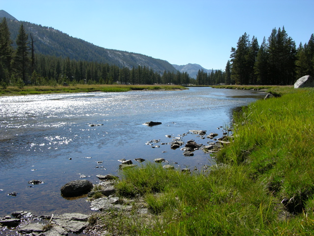
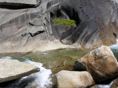
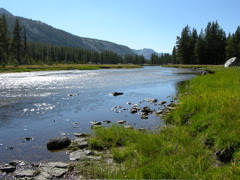
The gushing San Joaquin.
Have to climb up into that to get to Evolution Valley.
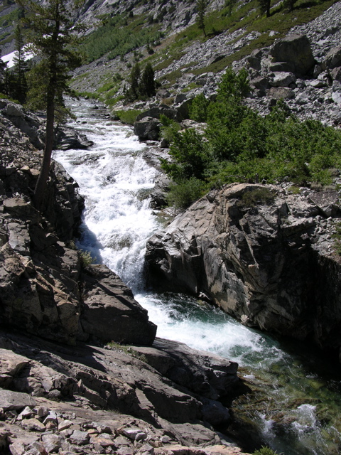
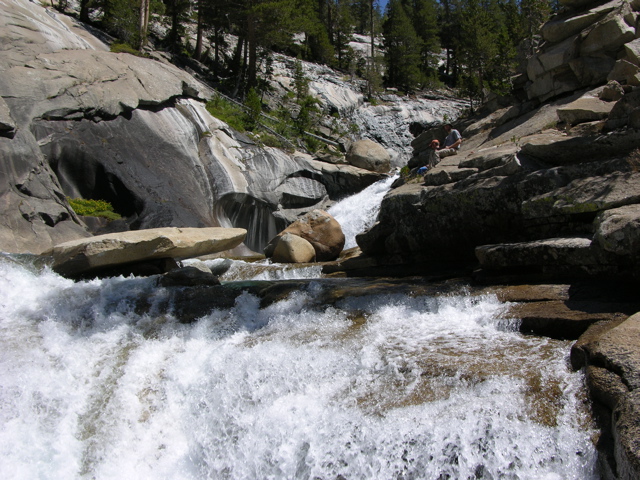
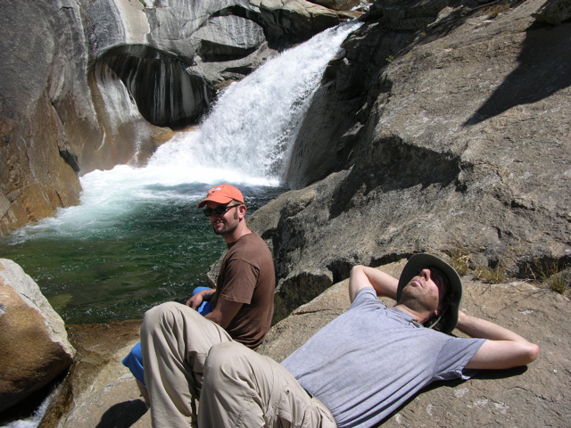
Taking a break by Evolution Creek Falls.
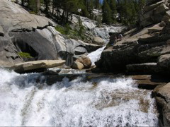
More falls.
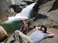
We hung out there for a while, actually.
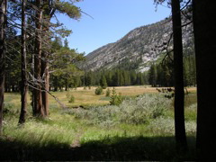
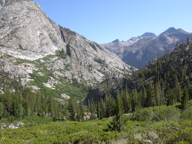
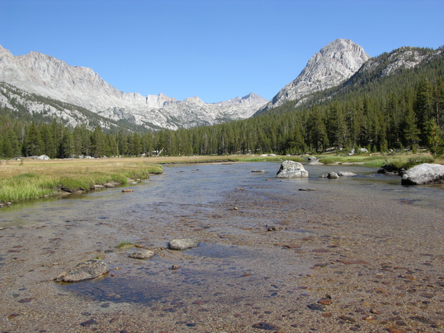
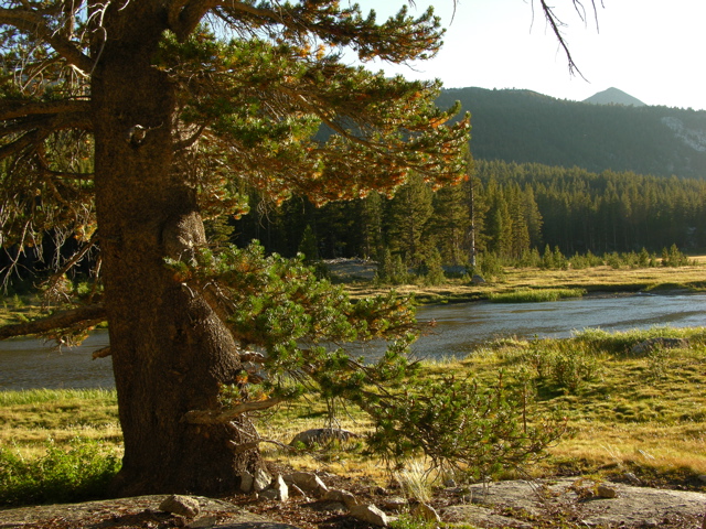
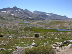
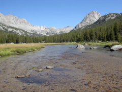
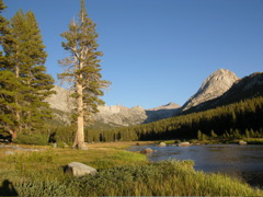
Evolution Meadow.
Our goal was the ranger station at McClure Meadow.
As hoped, the ranger provided some helpful information
about Lamarck Col, should we decide to go that route. We
camped in the meadow, adjacent to a delightful British couple
we'd met earlier at the stream crossing. They are going all the way from
Yosemite to Mount Whitney, bless their hearts.
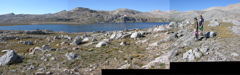
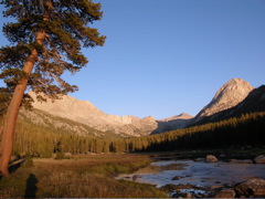
Standing in the meadow looking east.
Standing in the meadow looking west.
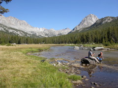
Water filtration time.

Looking south over the creek.
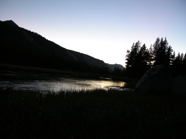
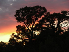
Sun is setting: longer shadows.
And here come the reds.
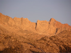
Close-up of distant eastward crags.
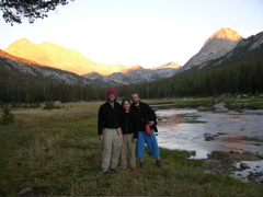
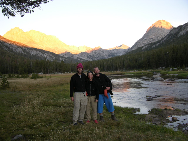
Group shot!
Night falls...
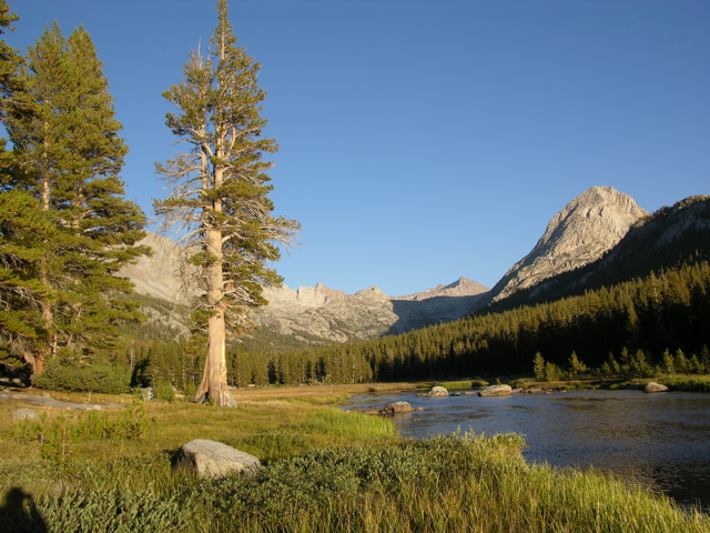
The meadow itself was quite stunning with 360° views of various
peaks around us. The mosquitoes were voracious. Dinner: Chicken
with Stove-Top stuffing and gravy. (Backcountry food tip: Don't do this.)
Campsite GPS Info: 37° 11' 15N / 118° 44' 29W / 9672' elevation
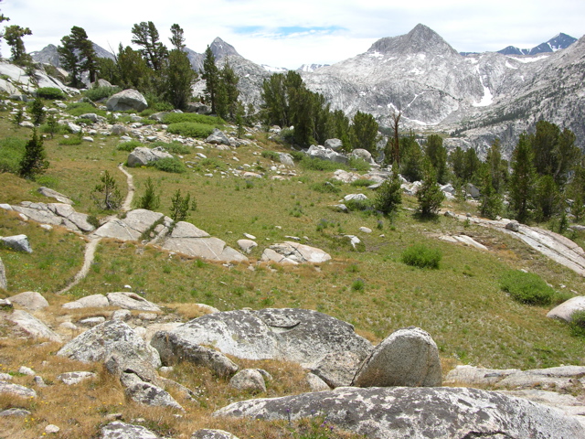
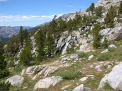
Day 6 - Tuesday August 29th - New Plan: Entering Darwin Canyon
At this point we decided to go with the Lamarck Col plan, which meant
locating the unmapped trail into Darwin Canyon.
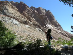
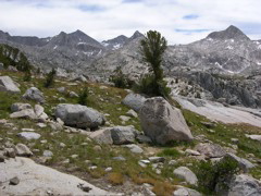
Despite our concern, the turnoff was fairly clear.
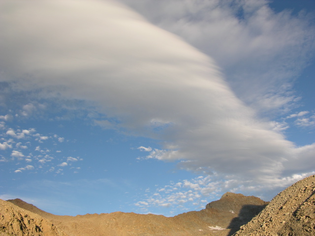
As we pressed up the hill onto Darwin Bench we grew more worried about the dark
clouds filling the skies to the south.
We were heading to a very cold, exposed area, so a storm would be bad.
But for us the clouds ended up providing distant thunder and nothing
else. Frankly, we lucked out.
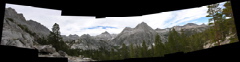
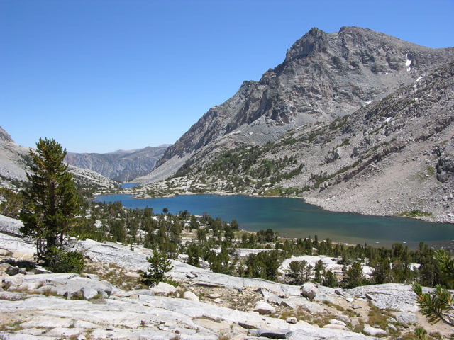
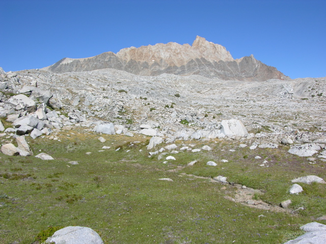
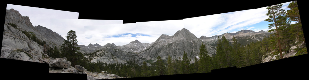
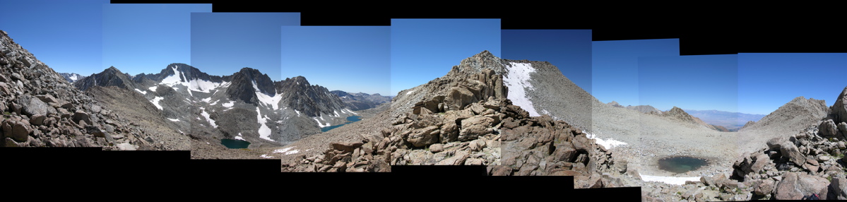
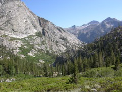
As we headed into the hills - panorama looking eastward towards Evolution Basin.
Another interesting tree formation.
Landscape looking back as we approached Darwin Bench.
Zooming in on the Evolution and Sapphire Lakes behind us in the distance.
Following the drainage cascading down from the bench.
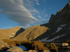
Looking back at the ominous clouds over the trail.

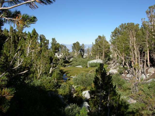
The trail cuts through alpine greenery.
The alien landscape as we approached Darwin Bench.

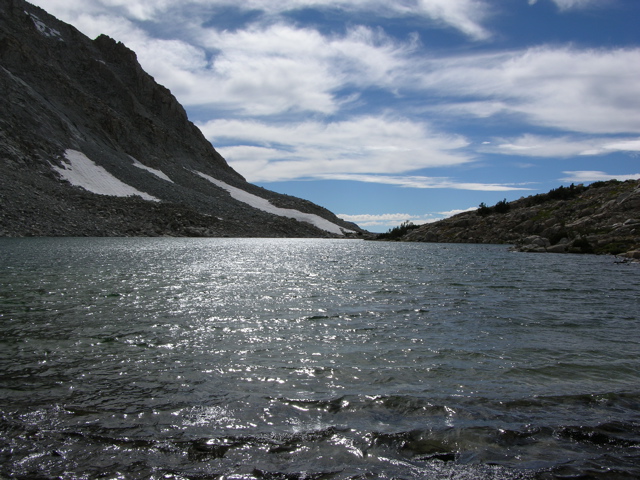
Random small lake up on the bench.
We're fairly high up now - looking back at the peaks on the other side of Evolution Valley.
Shooting stars.
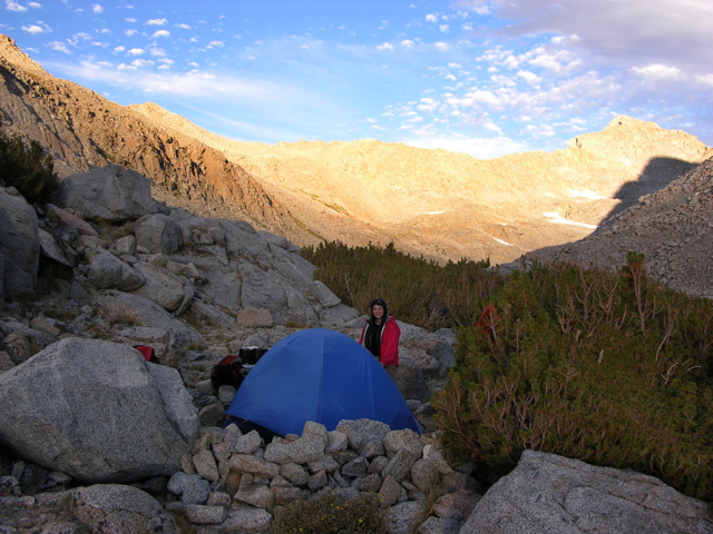
Far fewer people take this route, so we had no trouble finding tent sites
by the third lake in Darwin Canyon. This would be the highest we ever
camped, at over 11500'. It did get quite cold, but the dramatic terrain and
sunset made us forget. Dinner: Indian chicken and veggie curry. No mosquitoes.
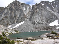
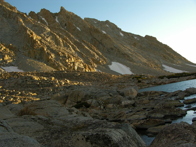
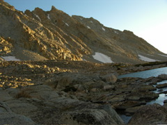
The lowest of the five Darwin Lakes.
Looking out over Lake #2 (near where Jenya and I set up camp).
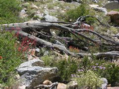
Interesting alpine succulent.
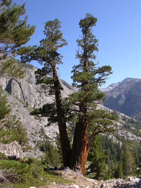
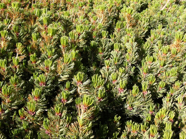
Whitebark pine growing short and scrubby at this high altitude.
Halfway down Lake #3 (where Nat set up his tent).
Alien landscape - the clouds put on a show for us.
Jenya by our tent.
The sun beginning to set.

More cloud antics.

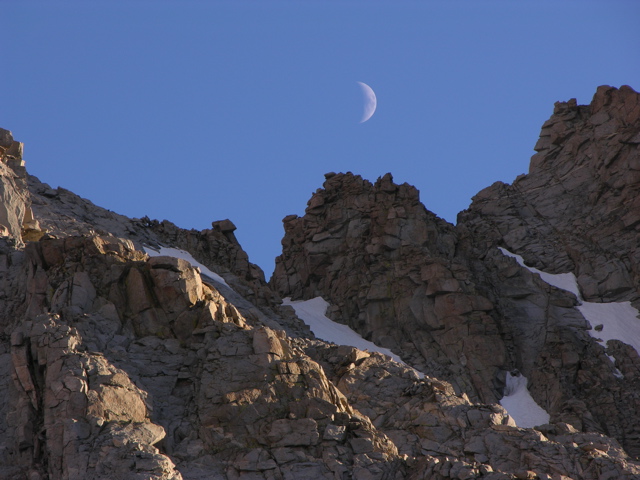
The moon finally makes an appearance.
The sky just kept getting better.
Longer light.
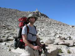
Matt in his wind breaker.

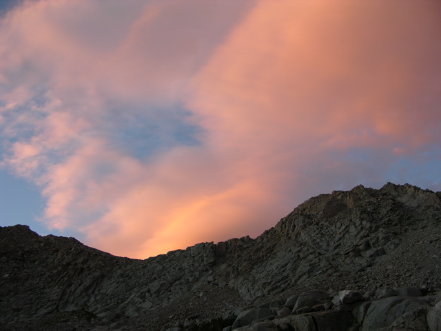
Pink clouds.
Campsite GPS Info: 37° 11' 13N / 118° 41' 09W / 11560' elevation
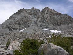
Day 7 - Wednesday August 30th - Taking Lamarck Col and the Big Descent
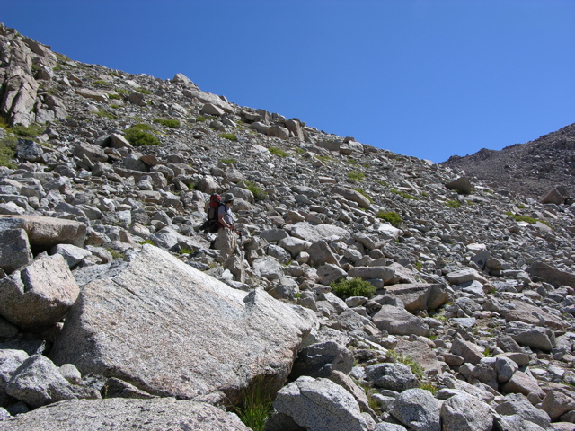
We got an earlier start than usual. The ranger's scribbles and notes
weren't very accurate, so we spent a lot of time debating and guessing
how to get up this 1500' rock scramble to the col. Even worse, it was
steep enough that we couldn't tell exactly where the col was.
Luckily, there was evidence of foot traffic making usage trails here and there.
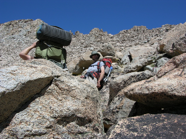
After some treacherous boulder scrambles and climbs
up loose scree, it became a matter of finding these trails and hoping they
led somewhere positive around all the large boulders.
Rock scramble with full packs on isn't easy.
Looking back at the Darwin Lakes.
It's quite impossible to show how steep this rock pile actually was.
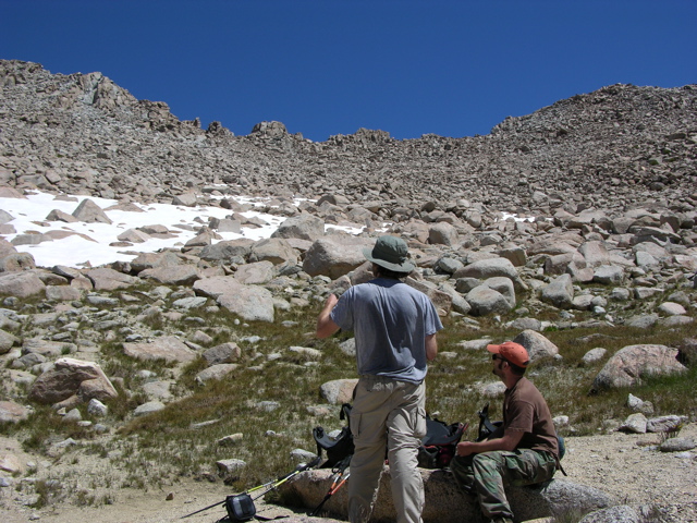
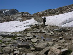
Trying to figure our where Lamarck Col actually is. We're about 1000' below it at this point.
Another glance back into Darwin Canyon.

One more rest before the final push.
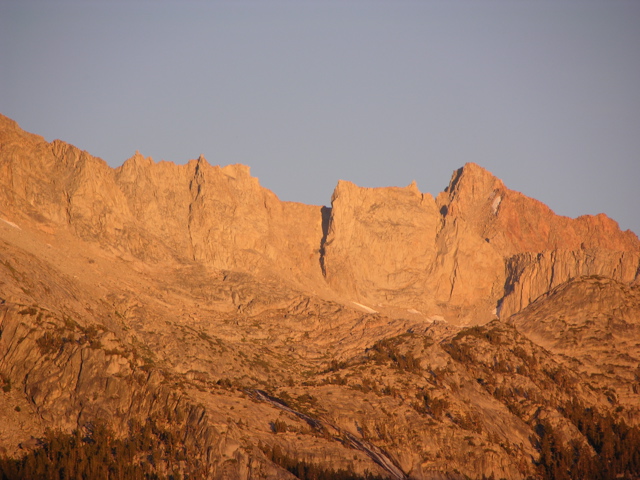
We reached the col around lunchtime, treated to exquisite views on both
sides. This was the highest altitude I've ever been without being in a plane.
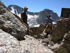
We made it! Hooray for us!
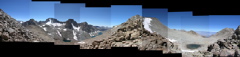
360° panorama at the very top.
One last look back into Darwin Canyon from all the way up here.
Lamarck Col GPS Info: 37° 11' 25N / 118° 40' 03W / 12946' elevation
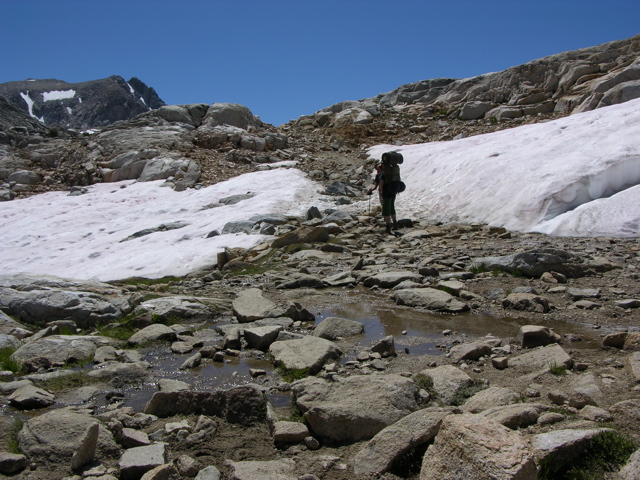
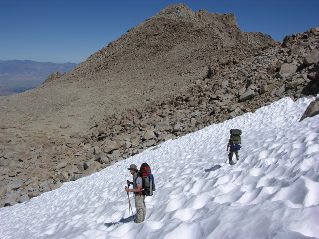
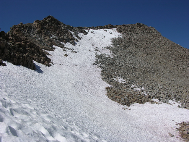
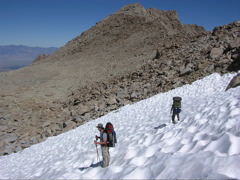
But it wasn't over: we still had a 3700' descent back to North Lake.
Unfortunately a snow bank was in the way.
Lots of slipping and sliding as we cautiously sidestepped to the bottom.
Matt and Nat slip slidin' away.

Once again, it's impossible to really show how incredibly big and steep this is.
The next 1000' down were over boulders (avoiding another snow bank) and down an easy, sandy trail.

One more gradual descent before an 800' drop down a seemingly interminable set of switchbacks.
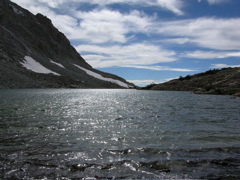
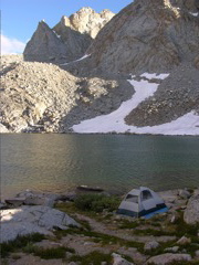
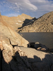
Good ol' Upper Lamarck Lake.

One more meadow before meeting up with the Lamarck Lake trail.
My bad knee was screaming at this point.
I was biting my lip in agony as we followed the last few miles to the campground.
We're back, five days and 40 miles later. Woo-hoo!
We found that not only was some of our stuff taken from the bag we left in
the bear locker, but garbage had also been added to it. We quickly headed
into Bishop. Yearning for cooked meat we hit Barbecue Bill's. We looked
like hell and smelled terrible, but hunger dictated we eat first before
finding a motel and showering. We sat around for hours chowing down, drinking beer,
and recounting the details of our successful adventure in the mountains.
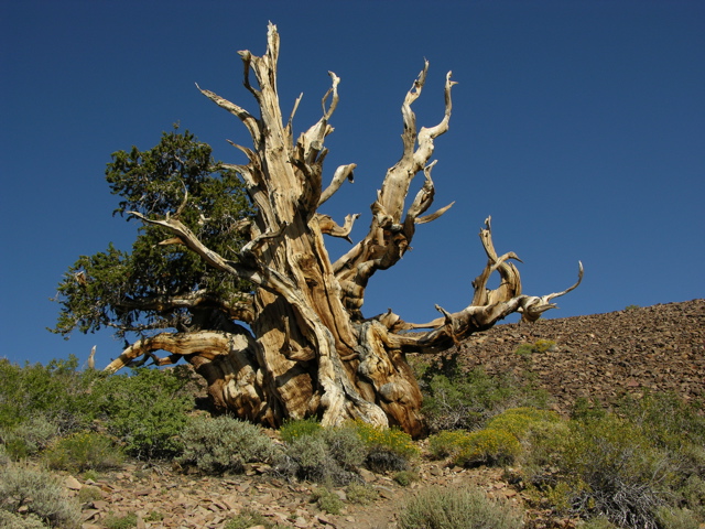
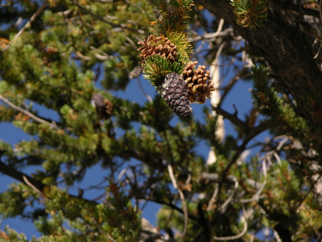
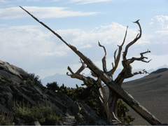
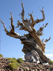
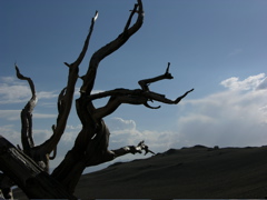
Day 8 - Thursday August 31st - Morning in Bishop / Bristlecones in the White Mountains
We decided to take a "day off" from any hard hiking, so we spent the
morning in Bishop. Laundry, Mexican breakfast, Galen and Barbara Rowell gallery.
Stopped back in the ranger's station to get the 411 on the White Mountains.
After getting more food/supplies in town we headed for the hills.
Crazy landscape driving up to over 10000'. We stopped at an overlook to
see the Sierras from this unique perspective (no pictures as recent fires
smogged up the sky).
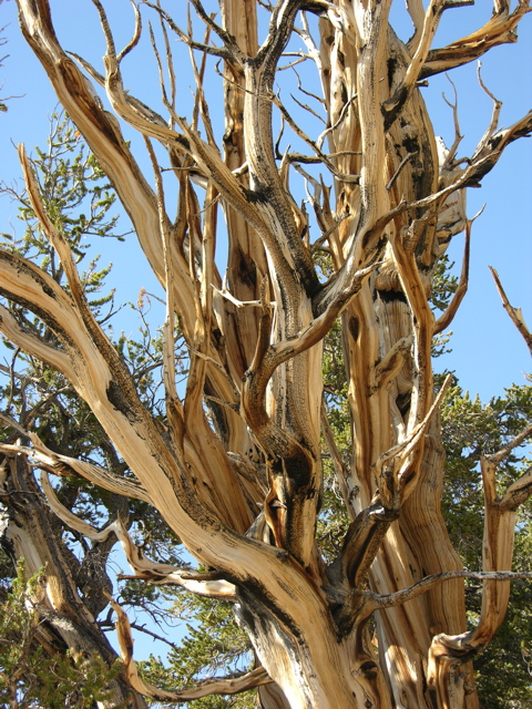
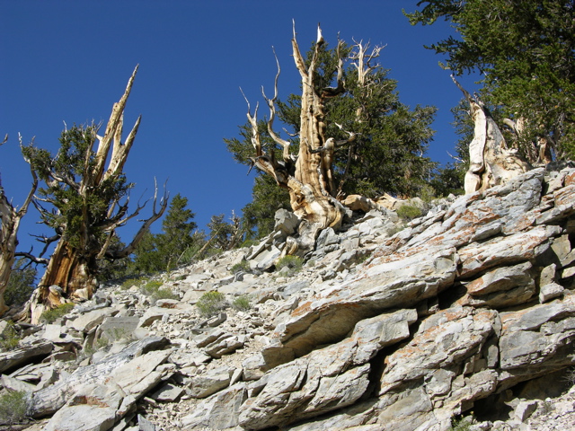
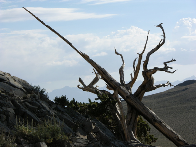
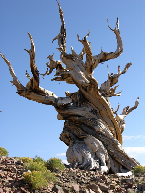
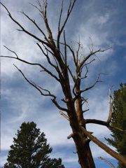
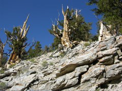
We checked out a short trail near the ranger's station, observing a
grove of bristlecone pines. These are the world's oldest trees, some aged at
4000 years old or more. Here are a bunch of tree/cone/vista shots from that trail:


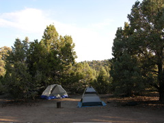
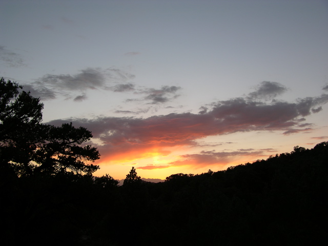
We got a site in Grandview campgrounds. Dinner: chili mac.
As night fell Nat and Jenya were reading their tree identification books
and discovered that half the world's largest sequoias are in Sequoia
National Monument - someplace we've never been. So once again new plans
were put into action - we're headed there tomorrow.
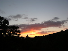
Sunset over the campground.
Another angle of the sunset.
Campsite GPS Info: 37° 20' 07N / 118° 11' 26W / 8605' elevation
Around 2am a group of people arrived in this otherwise desolate campground
and set up in the site next to us. They had no qualms about making a
commotion. The sounds they made were weird and unidentifiable and
went on until 4am. This woke all of us up, and kinda freaked us out.
In our horror-movie influenced minds they became
a bunch of inbred speed freaks making preparations for a murder spree
using uncommon sharp implements.
Day 9 - Friday September 1st - Sequoias and Suddenly Home
Pissed off by the disrupted sleep, we were further annoyed to find our
neighbors were just a bunch of mountain bike punks who simply had no
regard for people sleeping twelve feet away. It might have been better if they were crazy,
but no - they were just assholes.
We quickly headed off the hill and got breakfast at Jeff's Country Kitchen
in Lone Pine. The waitress offered us a choice between home fries and potato
pancakes, but warned us not to get the potato pancakes. Nat insisted on
ordering the potato pancakes; however, as it turns out, they had no potato
pancakes in the first place. True story.
I drove us down the hot, hot highway 395, turning right on
Nine Mile Canyon, which took us up into the middle of nowhere. Desperate
for cold ice cream and beverages, we stopped in the tiny town of Kennedy Meadows
at a store which had a giant paper mache ice cream cone outside. But their
refrigerator was broke, so we moved on.
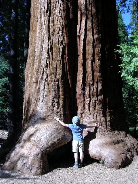
We went over Sherman Pass, down to the Kern River, and headed up into the
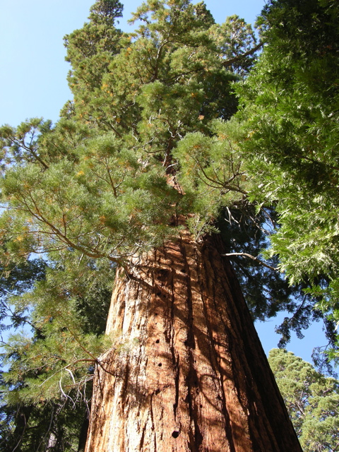
National Monument. Took a stroll around the "Trail of 100 Giants" which did,
indeed, have some impressive specimens, unfortunately including stumps and logs,
and one sign containing lumber propaganda.

Treehugger.

One of the aforementioned giants.
Afterward, we hauled ass up 99, stopping for dinner at Apple Annie's
in Tulare. Made it back to Oakland by 11:30pm.
The end!
|